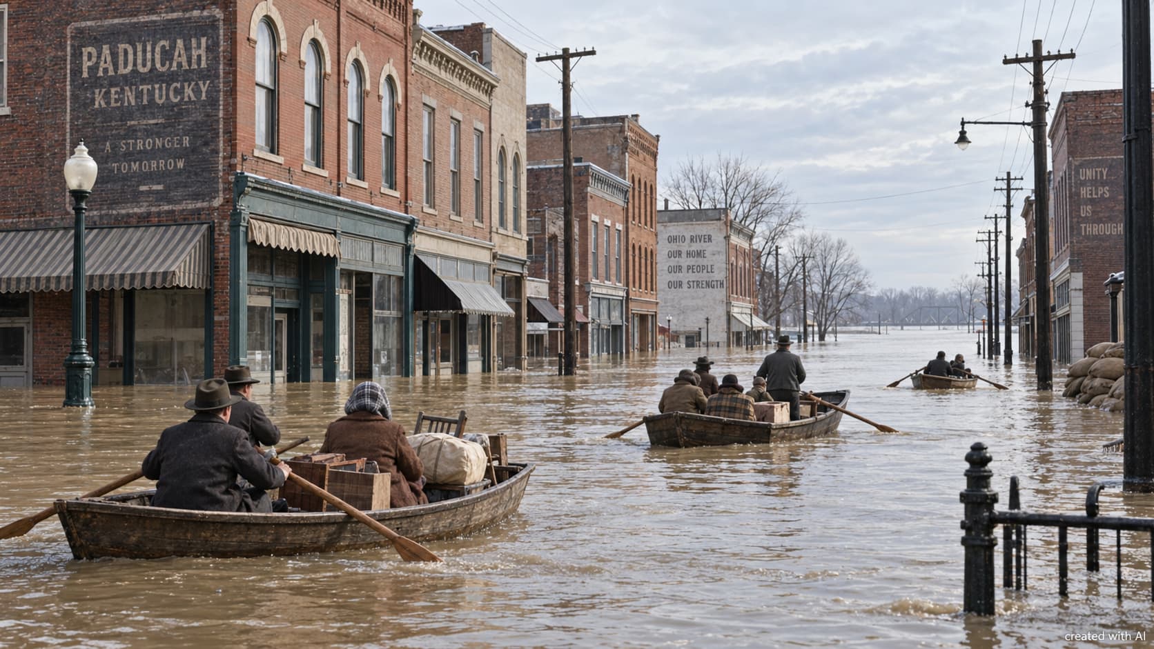

Flooding was familiar along the lower Ohio River, but January 1937 produced something beyond local experience. Weeks of rain fed the river and its tributaries while winter weather complicated travel and relief work. Communities built around docks, warehouses and rail connections found that the water supporting their economy could also isolate them.
Paducah became Western Kentucky’s clearest measure of the disaster. The river eventually stood far above the streets, forcing almost the whole city to stop functioning. Its recovery changed the boundary between Paducah and the Ohio River for generations.
Rain Became a Regional Emergency
The crisis developed over days rather than arriving as a single wave. Persistent rain across the Ohio Valley sent enormous volumes of water downstream. Each swollen tributary added to a river already pressing against levees and low-lying neighbourhoods.
Paducah residents had experienced serious floods in 1884 and 1913, so rising water was not immediately treated as an unprecedented threat. That judgement changed as the river continued climbing. Streets near the river disappeared first, followed by residential and commercial districts considered safely removed from the normal channel.
Paducah stands near the meeting of the Ohio and Tennessee rivers, while other Western Kentucky communities occupied low ground beside waterways feeding the Ohio. Roads, rail lines and telephone connections could fail just when neighbouring towns needed one another most.
A City Moved to Higher Ground
The Ohio River crested at Paducah on 2 February 1937 at 60.8 feet. Nearly 95 per cent of the city was submerged, and approximately 27,000 residents were evacuated. Contemporary damage estimates exceeded $22 million, an extraordinary loss during the Great Depression.
Evacuation meant more than leaving a wet house. Families needed transport, shelter, food, dry clothing and information about relatives. Boats travelled along streets that had carried cars. Churches, schools and private homes on higher ground became temporary refuges, while relief organisations coordinated supplies across a city whose distribution network had broken down.
Work continued after the river receded. Buildings had to be cleared of mud and inspected, damaged goods discarded and utilities restored. Business records, family papers and household objects were lost alongside more easily counted property. The disaster entered family history as well as municipal statistics.
Existing Defences Were Not Enough
Paducah had an earthen levee before 1937, but it could not hold back a flood of this scale. Temporary barriers and local labour could protect individual points only while transport, communications and manpower remained available. Once water crossed multiple sections, emergency work became rescue rather than defence.
The flood exposed a planning problem. River communities had grown because navigation and trade were valuable, yet much of that development occupied vulnerable ground. Rebuilding as before would restore the economy while preserving the conditions for another catastrophe.
Congress passed the Flood Control Act of 1937 later that year, providing support for engineering projects across the Ohio Valley. Paducah’s experience gave the argument for permanent protection a visible local form.
Ten Years of Construction
The U.S. Army Corps of Engineers built Paducah’s flood-protection system between August 1939 and July 1949. It combined concrete wall sections, earthen levees, gates and pumping facilities rather than relying on one uninterrupted barrier.
The completed system extended for roughly 12 miles and was designed to provide protection three feet above the 1937 level. Openings were necessary where streets, railways and river access crossed the line. During a flood threat, removable gates could close those gaps, while pumps moved rainwater and drainage accumulating on the protected side.
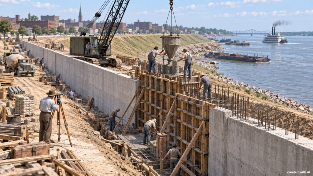
The barrier reduced direct views and access along parts of the waterfront, but it allowed homes, businesses and public services behind it to operate with lower risk. Engineering altered the cityscape because the earlier landscape had proved unsafe.
Protection Requires Continuing Work
A floodwall is not a finished monument. Gates must fit, pumps must operate and embankments must remain stable. Drains, concrete joints and mechanical equipment require inspection even during years without a major flood.
The City of Paducah’s floodwall information states that the system now reduces flood risk for 11,000 acres and more than 20,000 people. The city also reports that assets protected in Paducah and McCracken County are valued by the Army Corps of Engineers at an estimated $1.2 billion.
The system is periodically exercised and its gates are installed for testing, giving crews practical experience before an emergency. Protection depends on readiness, not merely on the height of concrete.
A Disaster Written Into the City
The flood remains visible through high-water markers, photographs, family accounts and the floodwall itself. The Kentucky Historical Society’s marker record preserves the crest, evacuation and damage figures that show the event’s scale.
Its deeper legacy is structural. The disaster changed where Western Kentucky communities placed confidence: less in improvised barriers and more in coordinated forecasting, evacuation and permanent engineering. Paducah still faces a river capable of flooding, but it no longer faces it with the defences that failed in 1937.

 John Gama